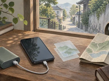







Losing mobile data doesn’t have to mean losing your way. It means switching to a layered system: Fetch what you saved before you lost connection, Anchor yourself using something you can actually see, Locate your position against that anchor, Link that to your saved route, and Back up to a person if the first four steps still leave you unsure.
Quick answer: When data fails, use downloaded maps and saved addresses, confirm your GPS location with visible landmarks, and keep a staffed human fallback.
Prepare the no-data layer
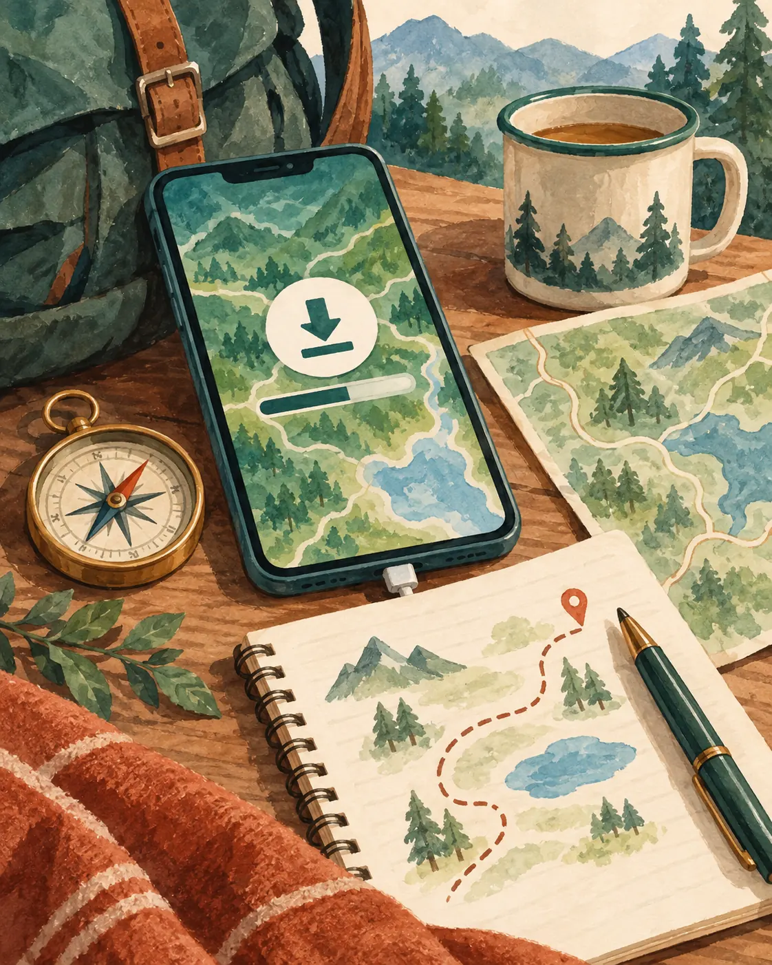
Download relevant maps, save accommodation and key stops, keep screenshots and written addresses, and preserve battery and payment backup.
Before you lose connectivity, download the map area, save key addresses and screenshots, and confirm your phone has enough battery and storage.
Before you lose connectivity, and ideally before you even leave home, download the relevant map areas, save your accommodation and key stops as pins, and take screenshots of routes and addresses. If your accommodation’s name or address is easier to show than to say, write or screenshot it in the local script as well, so you can hand someone your phone rather than trying to pronounce something unfamiliar.
Before a hike near Koh Chang, I left my planned route and expected return time with the guesthouse owner. I now do this on every hike, since it’s the one backup that works even when my phone doesn’t.
What to save before leaving
Save your accommodation address, arrival point, and any planned stops as pins, plus a screenshot of each in case the app itself becomes inaccessible for any reason.
Battery and storage check
Confirm your phone has enough charge and storage for the trip ahead. A downloaded map does nothing if your phone is dead when you need it, so a portable charger is a reasonable addition to this preparation, not an extra step.
This no-data layer is one piece of a wider decision system that applies to every journey on a trip, not just a connectivity failure. The MOVE Stack system for getting around on a solo trip addresses that fuller system.
Understand what still works
A phone can often determine location through GPS without internet, but the map, search, routing, and updates must already be available on the device.
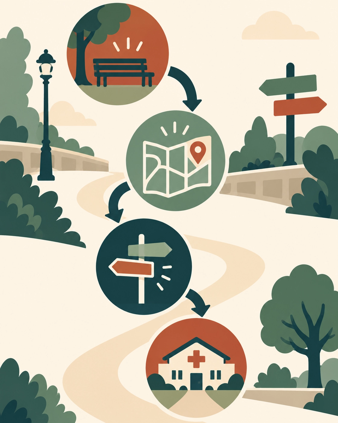
GPS can often establish location without mobile data, while fresh map tiles, live traffic, current transit schedules, and new searches can need connectivity.
GPS and mobile data are two different things. GPS lets your phone find its location using satellite signals, which generally keeps working without an internet connection. What stops working without data is anything that needs live information: fresh map tiles you haven’t downloaded, live traffic, current transit schedules, and search for anything outside your saved pins.
GPS is not the same as data
Your blue location dot can still move accurately on a downloaded map with zero data connection, because it relies on GPS, not the internet. This is the core fact that makes offline navigation possible at all.
What may stop updating
Live traffic conditions, current transit departure times, and any search for a new destination outside your downloaded area typically need data. Plan around this rather than expecting it to work anyway.
Navigate by anchors
You can navigate within a downloaded area, subject to offline limits; verify the map boundary and keep a written or visual backup.

Use a major street, transit station, recognizable landmark, or saved pin as a visible anchor, and travel in short verified legs rather than one long uncertain route.
Rather than watching a moving line and hoping it’s accurate, navigate by fixed points you can verify: a major street, a train station, a recognizable landmark, or a saved pin. Break your route into short legs between these anchors rather than trying to follow one long, unverified path.
Confirm direction
Before you start walking, confirm which direction you’re actually facing using a visible landmark or street sign, since GPS drift can occasionally show your position slightly off, especially right after you’ve been indoors.
Use visible public reference points
A named intersection, a transit station entrance, or a landmark marked on your downloaded map gives you something concrete to confirm against, rather than relying solely on the moving dot.
Ask for help safely
Some apps support downloaded maps; choose one covering your destination, test it without data, and keep saved addresses plus a backup.
If your anchors and downloaded map still leave you unsure, ask for help from an official or staffed source: a transit employee, a shop or hotel front desk, or a uniformed official, rather than a stranger on the street. Show your saved address rather than trying to explain it verbally if there’s any language gap, and share only what’s necessary to get directions, not unrelated personal details.
A simple help request
Showing a written or screenshotted address and asking “how do I get here” is usually enough. You don’t need to explain your whole situation to get a useful answer.
Avoid displaying sensitive information unnecessarily
Show the destination address, not your full itinerary, accommodation booking details, or other information beyond what’s needed to get directions. This instinct, share only what’s needed, is one piece of a wider risk-reading habit, and the rest of that pattern is set out in the risk-literate safety system for solo travelers.
Recover when the route breaks
The best option depends on coverage and route type; compare downloaded-area support, walking or transit needs, ease of testing, and recovery tools.
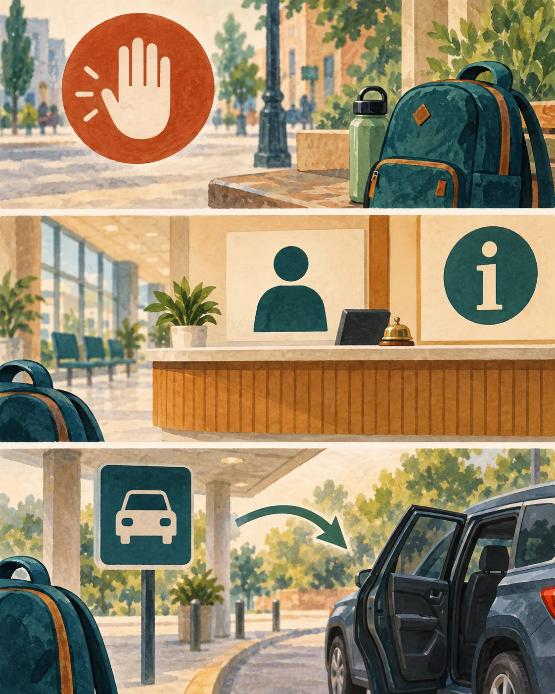
Stop in a public staffed place, use saved anchors to reorient, and switch to a backup route, verified ride, or official help rather than keep guessing.
If you find yourself in a dead zone, outside your downloaded map’s boundary, or genuinely unsure where you are, stop rather than keep walking. Move to a public, staffed place, reorient using your saved anchors, and switch to your backup plan (a different route, a verified taxi or rideshare, or asking for directions) rather than continuing to guess. See the recovery sequence for when a route fails for this exact moment in more depth.
Once you’re confident of your position again, re-routing between two points without starting over sets out the process from there.
Pause and reorient
Stopping costs a few minutes. Continuing to walk in the wrong direction when you don’t know where you are costs a lot more, both in distance and in stress.
When to use a verified ride or taxi
If reorienting on foot isn’t working, or the area you’re in doesn’t feel like a good place to keep problem-solving, a verified taxi or rideshare back to a known point is a reasonable choice, not a failure of the plan. Comparing offline-capable navigation apps explains how to choose an app that suits this kind of offline-first use case in the first place.
If Google Maps is your primary tool, setting up an offline map before you lose signal covers the specific setup process behind the anchors used in this article.
Examples
Normal case: A traveler with a downloaded map area navigates confidently between saved anchors, checking their position against a recognizable landmark at each leg.
Friction case: Later in the trip, the traveler wanders slightly outside their downloaded map’s boundary and loses reliable routing.
Recovery case: They stop at a visible, staffed shop, show the address they’d saved as a screenshot, and get pointed back toward their downloaded area, where their offline map becomes useful again.
FAQ
Is there a navigation app that works offline?
Some apps support downloaded maps; choose one covering your destination, test it without data, and keep saved addresses plus a backup.
Is there a GPS that works without internet?
A phone can often determine location through GPS without internet, but the map, search, routing, and updates must already be available on the device.
Can you navigate on Google Maps without internet?
You can navigate within a downloaded area, subject to offline limits; verify the map boundary and keep a written or visual backup.
What is the best free maps app for offline navigation?
The best option depends on coverage and route type; compare downloaded-area support, walking or transit needs, ease of testing, and recovery tools.
Start Building Travel Readiness
Your Free Prep System.
Not tips, not wanderlust, not “just go for it” advice.
Real systems. Honest experience. One focused email a month. Get 3 Free Tools the moment you join:
1. 60-Day Solo Travel Ready Checklist
Your complete prep timeline from decision to departure
2. First 48 Hours Arrival Survival Card
The exact protocol for landing confident, not lost
3. Booking Confidence Checklist
The tool for the moment the booking button feels impossible to press
No schedule pressure. Unsubscribe any time.
Author Box
Zisco Nueda is the solo travel educator behind Solo Travel Ready, who developed the Fetch, Anchor, Locate, Link, Back up sequence after finding that most “lost without data” moments come down to relying on a moving line instead of a fixed point you can actually verify, something learned before adopting the habit now used on every hike: leaving a written route and return time with someone before losing signal, the way Zisco did near Koh Chang. Device settings, what an app can do, and offline features change with updates, so verify current behavior on your own device before depending on it in an unfamiliar place.
Last updated: September 2026