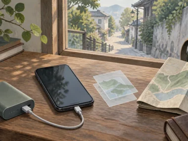






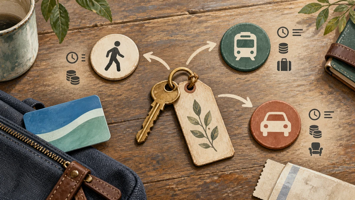
Arriving in a new city with no fixed way of moving through it is not actually a problem you solve by picking one best mode. It’s five small steps: Map your key places, Assess each leg against real conditions, Test one route before trusting a whole day to it, Choose a primary and backup mode, and Handoff to a clear way home when the day ends.
Quick answer: To get around a new city, map your key places, match each leg to a transport mode, test one simple route, and keep a reliable way home.
Map the city before choosing a mode
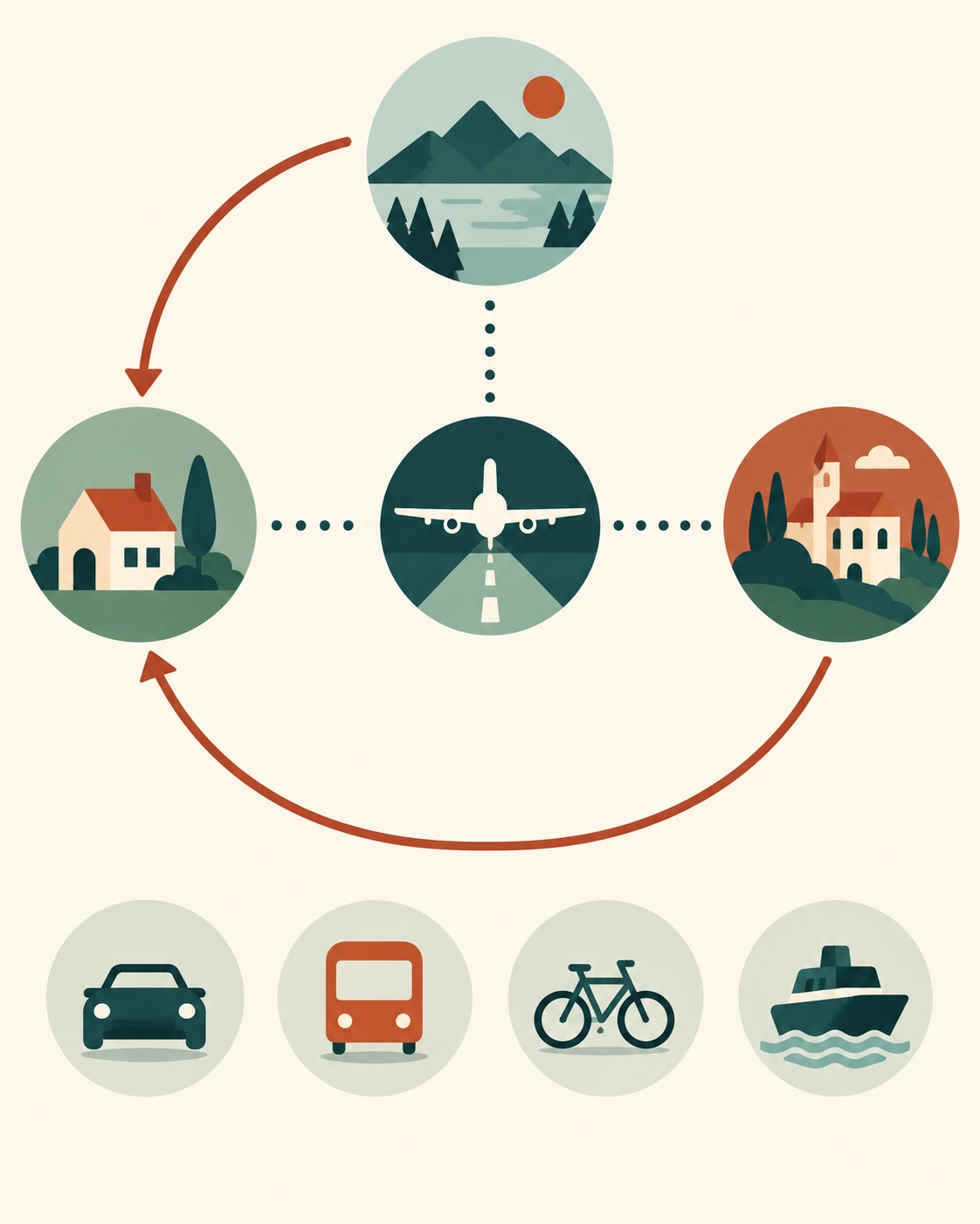
Mark the accommodation, arrival point, one or two return anchors, and the day's key places before choosing a transport mode.
Before picking any transport mode, mark your accommodation, your arrival point, the main neighborhoods you’ll spend time in, and how long you’re staying. Separate this from your airport arrival, which is a different, already-solved decision covered in comparing transfer options from the airport to your accommodation. This section is about daily movement once you’re already settled.
Create a simple movement map
A rough mental map, or a few pins saved in an app, of your accommodation, one or two anchor points (a main square, a transit hub, a neighborhood you’ll return to), and how far apart they are is enough. You don’t need a full itinerary before choosing how to move.
Separate arrival from daily transport
Your first airport-to-accommodation trip and your daily movement afterward are different decisions with different constraints. Treating them as the same choice is how travelers end up either overpaying for daily short trips or under-preparing for a longer first transfer.
This day-by-day mapping is a smaller version of the same decision system you’ll use for every journey on the trip, not just daily city movement. The MOVE Stack system for getting around on a solo trip addresses that fuller system in one place.
Match transport to the trip

Match each trip leg to walking, transit, rideshare, taxi, bike, or a rental by distance, terrain, hours, luggage, cost, and comfort.
Start with walking and public transit, then add rideshare, taxi, bike, or tours when distance, terrain, hours, or safety make them useful.
No single mode wins for every leg of a trip. Walking suits short, central trips in daylight. Public transit suits longer, well-mapped routes where cost matters more than door-to-door speed. Rideshare or a taxi suits late-night trips, spread-out destinations, or anywhere you’re carrying more than a day bag. Bike or scooter share suits moderate distances where the infrastructure supports it and you’re comfortable with the traffic conditions. A short-term rental car rarely makes sense inside a city center, where parking and traffic often erase any time saved.
Best for short central trips
Walking or a short transit hop covers most trips under 20 minutes in a walkable, central area. Save rideshare and taxis for when distance, luggage, or the hour changes that calculation.
Best for spread-out or late-night trips
When your destinations are far apart or you’re moving after transit hours end, rideshare or a taxi is usually worth the higher cost. The time and certainty you’re buying matters more at 11pm than it does at 2pm. Daily transport is one line in a larger trip budget; the guide to the money system for budgeting a solo trip shows how to weigh choices like this one against the rest of what you’re spending.
Learn the local transport rhythm

Choose one short well-mapped daylight route, confirm stop, direction, and exit, then use that successful test to build confidence in the local system.
Every public transit system has its own logic: fare zones, whether you validate a ticket before or after boarding, how transfers work, and when the last services run. Rather than trying to learn the whole system before you arrive, learn just enough to test one route successfully, then build from there. Official transit authority websites or apps are the most reliable source for this, more reliable than a general travel guide that may be out of date. Navigating public transit safely on your own sets out the fare and validation process in more depth if transit will be your main mode.
Transit questions to answer
Before your first ride, confirm how you pay (card, app, or physical ticket), whether you need to validate it, and what the last scheduled departure looks like for the routes you’ll use most.
How to test one easy route
Pick one short, well-mapped route on your first day, ideally in daylight, and run it deliberately: confirm the stop, the direction, and the exit before you need to rely on the system for something more time-sensitive.
Build a daily movement system

Use one primary mode for most movement, save key stops, and identify a reliable return option before transit or daylight conditions change.
Rather than deciding your transport mode fresh for every trip, settle on one primary mode for most of your daily movement and one backup for when it doesn’t fit (bad weather, a late night, more luggage than usual). Save your accommodation and two or three key stops in an offline-capable map so you’re never navigating from memory alone. Comparing offline-capable navigation apps spells out the offline-capable options if you haven’t set this up yet.
Save accommodation and key stops
Save your accommodation’s address, plus any recurring destination, in your map app before you need it under time pressure. This single step removes most of the “where am I trying to go again” moments that eat time on a busy day.
Plan the final ride home
Know your return option before you leave for the day, especially if you’re out past when your primary mode (often transit) stops running. A rideshare or taxi as a known backup costs nothing to plan and saves real stress at the end of a long day. Comparing ride-hailing apps and their safety features handles how to compare providers where more than one operates in the same city.
Review the plan after day one
Treat day one as a test: if a mode costs more time, money, or comfort than expected, switch it for day two instead of repeating it.
Your first day’s transport choices are a test, not a permanent commitment. If a mode cost more time or money than expected, felt physically harder than expected, or didn’t fit the crowding or accessibility conditions you found, adjust for day two rather than repeating a plan that isn’t working.
On my own first solo trip, I walked everywhere in Kuala Lumpur out of pure stubbornness, including on a day when transit would have saved me an hour and a set of sore feet.
When to switch modes
Switch when the actual conditions (fatigue, cost, crowding, reliability) don’t match what you assumed on day one. There’s no penalty for changing your primary mode partway through a trip.
When not to rent a car
Skip a rental car if you’re spending most of your time in a dense city center, since parking, traffic, and unfamiliar road rules often cost more time than the car saves. A rental makes more sense for day trips outside the city than for daily movement within it.
Examples
Normal case: A traveler settles into a walking-and-transit routine for a compact city center, testing one transit route on day one before relying on it for a longer trip on day two.
Friction case: On day three, an evening event runs later than expected, past the last transit departure for the night.
Recovery case: The traveler switches to their planned backup, a rideshare confirmed against the app before getting in, and adjusts the next day’s plan to build in a later transit buffer or a backup mode for evening trips going forward.
FAQ
How do I get around if I don’t have a car?
Start with walking and public transit, then add rideshare, taxi, bike, or tours when distance, terrain, hours, or safety make them useful.
How to get around quickly without a car?
Use a short list of direct routes, check transfers and wait times, and switch to a verified taxi or rideshare when the time saving justifies the cost.
What are 10 different types of transportation?
Common options include walking, bus, metro, tram, train, ferry, taxi, rideshare, bike or scooter share, and tour or hotel transfers.
What can I do instead of driving?
Combine walking with public transit, rideshare, taxis, bike share, organized transfers, or a short rental only for the legs that truly require it.
Start Building Travel Readiness
Your Free Prep System.
Not tips, not wanderlust, not “just go for it” advice.
Real systems. Honest experience. One focused email a month. Get 3 Free Tools the moment you join:
1. 60-Day Solo Travel Ready Checklist
Your complete prep timeline from decision to departure
2. First 48 Hours Arrival Survival Card
The exact protocol for landing confident, not lost
3. Booking Confidence Checklist
The tool for the moment the booking button feels impossible to press
No schedule pressure. Unsubscribe any time.
Author Box
Zisco Nueda is the solo travel educator behind Solo Travel Ready, who built the Map, Assess, Test, Choose, Handoff sequence in this article after seeing the same pattern across many trips: travelers pick a transport mode once on arrival and stick with it even after it stops fitting the day’s actual conditions, including on Zisco’s own first solo trip, walking everywhere in Kuala Lumpur out of stubbornness on a day transit would have served better. Transit systems, fares, and rideshare availability vary widely by city and change over time, so verify current details against official local sources before relying on them.
Last updated: September 2026